

Rwenzori Mountains
Where Are the Rwenzori Mountains
The Rwenzori Mountains sit on the western edge of Uganda, straddling the border with the Democratic Republic of Congo, within the Albertine Rift one of the most biodiverse regions in Africa. The Uganda side of the range is protected as Rwenzori Mountains National Park, a UNESCO World Heritage Site and Ramsar wetland site covering roughly 996 square kilometres of afro-montane forest, bamboo zone, heather-covered moorland, and glaciated peaks.
The nearest major town is Kasese, in western Uganda, which serves as the gateway for both main trekking routes. Kasese is roughly a 6 to 7 hour drive from Kampala, or a short domestic flight away via chartered services from Entebbe.
Rwenzori Mountain Peaks
Named after the explorer Henry Morton Stanley, Mount Stanley is the roof of the Rwenzori and of both Uganda and the DRC. Its highest point, Margherita Peak (5,109m), is Africa’s third-highest summit after Kilimanjaro and Mount Kenya, and is named for Queen Margherita of Savoy, patron of the Duke of Abruzzi’s 1906 expedition. Mount Stanley carries a cluster of other named summits, including Alexandra Peak (5,091m), Albert Peak (5,087m), Savoia Peak (4,977m), Elena Peak (4,968m) where climbers overnight before the final summit push and Elizabeth Peak (4,929m). The Stanley Plateau, a glaciated saddle linking several of these summits, holds some of the last remaining equatorial glacier ice in Africa, though it has retreated dramatically over the past century. Reaching Margherita requires roped, guided travel across this glacier with crampons and an ice axe.
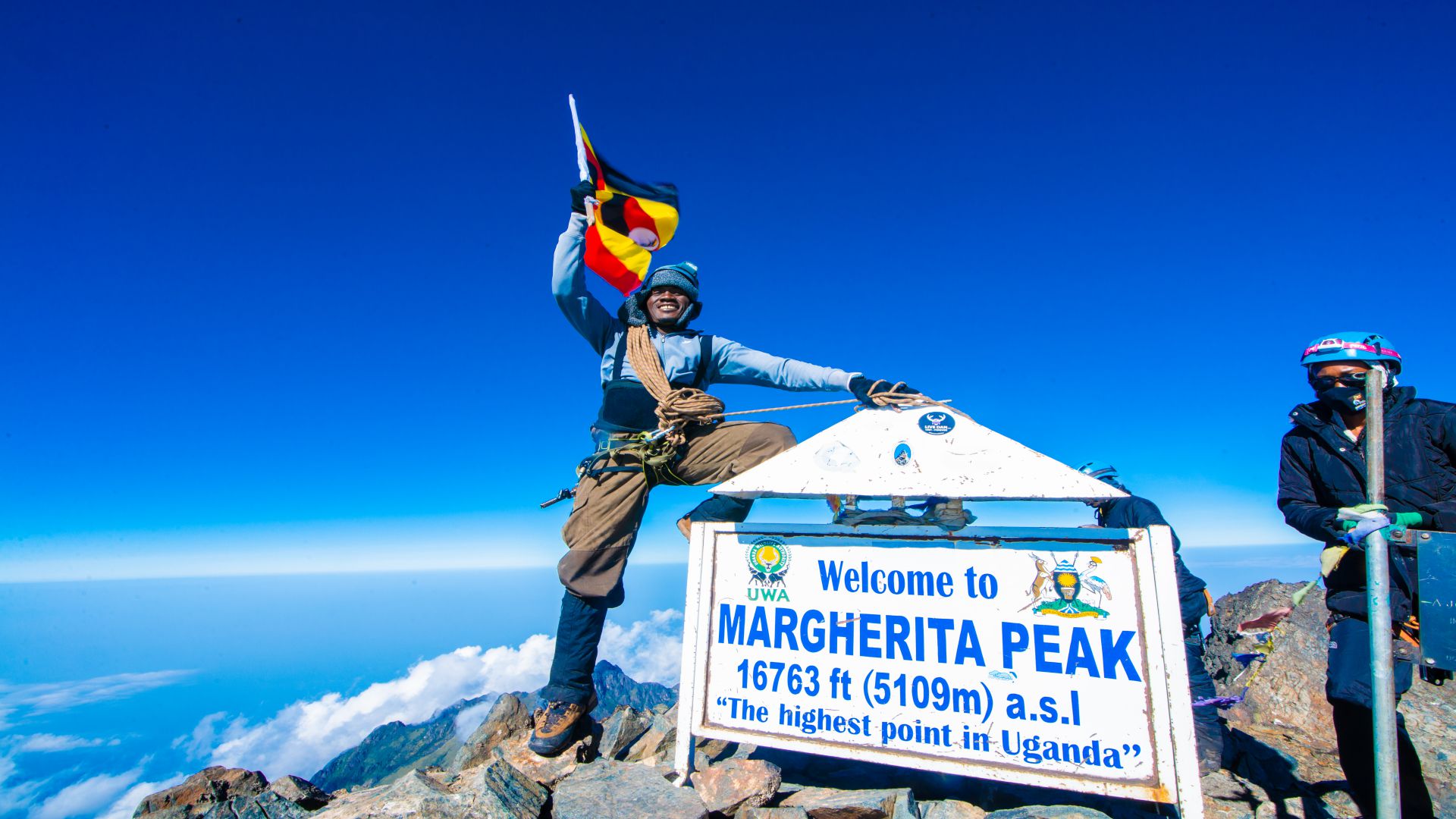
Mount Stanley (5,109m)
Named after explorer Henry Morton Stanley, Mount Stanley is the roof of the Rwenzori range, and of both Uganda and the DRC. Its highest point, Margherita Peak, at 5,109 metres, is Africa's third-highest summit, named for Queen Margherita of Savoy. Nearby summits include Alexandra, Albert, and Elena Peak, where climbers rest before the summit push.
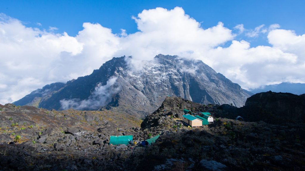
Mount Speke (4,890m)
Named after John Hanning Speke, the British explorer credited with locating the source of the Nile, Mount Speke is the range's second-highest massif. Its summit, Vittorio Emanuele Peak, at 4,890 metres, honours the Italian king of that era. Speke sits close to the Bujuku Valley on the Central Circuit, its glaciated flanks visible from below.
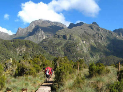
Mount Baker (4,843m)
Named for the British explorer Sir Samuel Baker, Mount Baker's highest point is Edward Peak, standing at 4,843 metres. It's a popular secondary objective for trekkers on multi-peak itineraries, offering glaciated terrain and dramatic views over the Stanley and Speke massifs, without quite the technical demands of a full Margherita summit attempt on Stanley itself.
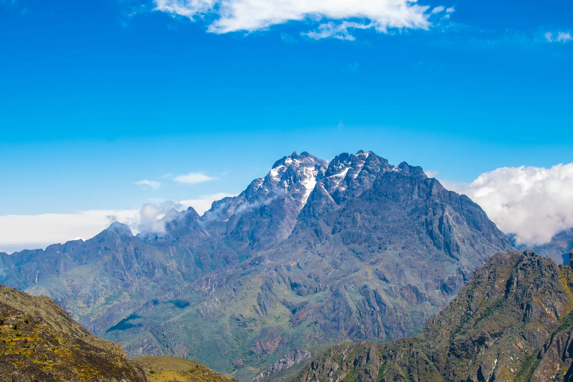
Mount Emin (4,798m)
Named after the German-born explorer and physician Emin Pasha, Mount Emin's summit is Umberto Peak, standing at 4,798 metres. It sits on the range's more remote northern side and is climbed far less frequently than Stanley, Speke, or Baker, making it a rewarding draw for experienced trekkers on longer, multi-peak expeditions across the whole range.
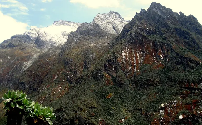
Mount Gessi (4,715m)
Named for the Italian explorer Romolo Gessi, Mount Gessi's highest point is Iolanda Peak, standing at 4,715 metres. Like Mount Emin, it lies toward the far northern part of the range and is typically included only in longer, multi-peak trekking itineraries, rather than the standard seven- to eight-day treks that most visitors choose to complete.
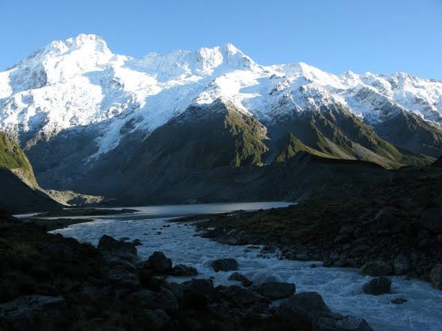
Mount Luigi di Savoia (4,627m)
The lowest and most remote of the six massifs, Mount Luigi di Savoia was named by the Duke of Abruzzi after himself. Its highest summit, Sella Peak, at 4,626 metres, is joined by Weismann and Stairs Peak. Weismann is a popular non-technical objective, offering genuine high-altitude views without any glacier travel required to reach it.
Rwenzori Trekking Route
Central Circuit Trail
Kilembe Trail
Bukurungu Trail
The Central Circuit is the original and most popular route, entering the park from the east at Nyakalengija, about 22 km from Kasese. It follows a full loop through the Bujuku Valley, past Lake Bujuku and the Kitandara Lakes, over Scott Elliot Pass, and up to Margherita Peak via Elena Hut. Trekkers who summit follow a 7 day itinerary, with 5- and 9-day variations, passing the historic Bujongolo rock shelter used during the Duke of Abruzzi’s 1906 expedition. It is considered the more scenic route, crossing the notoriously muddy Bigo Bog.
Launched in 2011 and managed by Rwenzori Trekking Services, the Kilembe Trail begins about 12 km from Kasese on the southern side of the range near Kilembe town. It’s steeper and generally considered more physically demanding than the Central Circuit, but it rewards trekkers with newer, more comfortable high-altitude camps, significantly fewer other hikers on the trail, and the dramatic Mutinda Lookout at roughly 4,000 metres, widely regarded as one of the finest viewpoints in East Africa. The standard summit itinerary runs 7-8 days and avoids the Bigo Bog crossing.
The Bukurungu Trail is a shorter, less technical option, typically taking 4-6 days, for hikers who want to experience the Rwenzori’s dramatic scenery including views from the Mutinda Lookout without committing to a full glacier summit attempt. It suits strong hikers with limited time, or those who would rather camp and explore the lower valleys than push for the summit. The route shares the Kilembe Trail’s early scenery, winding through forest and heath zones to reach viewpoints, making it a rewarding introduction to the range for trekkers short on time.
Both main routes are physically demanding multi-day treks at altitude, involving long daily hiking hours, steep and often muddy terrain, and nights spent in mountain huts or camps above 3,000-4,000 metres. Reaching Margherita Peak itself is a technical undertaking the final push from Elena Hut (Central Circuit) or Margherita Camp (Kilembe Trail) crosses glaciated terrain and requires crampons, an ice axe, a harness, and a roped, guided ascent.
You do not need prior mountaineering experience to trek the Rwenzori, since technical sections are led by trained guides, but a good baseline of cardiovascular fitness, multi-day hiking experience, and mental preparation for cold, wet, and physically taxing conditions will make a significant difference to how much you enjoy the trek. Trekkers who prefer to skip the technical glacier summit can still complete a full route to a high viewpoint like Weismann Peak or the Mutinda Lookout.
Combining Rwenzori with Other Uganda Highlights
Because Kasese sits close to Queen Elizabeth National Park, many trekkers combine a Rwenzori trek with a game-viewing safari, or pair it with primate tracking elsewhere in western Uganda chimpanzee trekking in Kibale Forest National Park, or gorilla trekking in Bwindi Impenetrable Forest, both of which are reachable within a day’s drive. A well-known combination itinerary runs around 12 days and blends primates with the Rwenzori trek, letting travelers experience Uganda’s mountain, forest, and savannah ecosystems in a single trip
Mountains of The Moon
Best time to visit Rwenzori Mountain
The Rwenzori Mountains are best visited during the two dry seasons, when trails are less muddy, visibility is better, and the ascent to Margherita Peak is safer:
Prime windows
Mid-December to mid-February generally considered the best window, with the driest and clearest conditions
June to August the second dry season, also good and popular with travelers combining a Rwenzori trek with other East African trips (gorilla trekking, safaris)
What to expect outside these windows:
March to May and September to mid-November are the wetter months. Rain is heavier and more frequent, trails (especially Bigo Bog on the Central Circuit) become significantly muddier, and cloud cover reduces summit views.
A few things worth knowing:
- The Rwenzoris are a genuine rainforest-to-glacier environment, so even in the “dry” season you should expect rain most days — it’s rarely truly dry. The dry season mainly means less rain and better visibility, not none.
- Because of climate change, the glaciers on Margherita Peak are retreating rapidly and conditions can vary year to year, so it’s worth checking current conditions with a local operator (like Rwenzori Trekking Services or Rwenzori Mountaineering Services) closer to your trip.
- If summiting isn’t your goal — say you’re doing the Bukurungu Trail — the shoulder months are more forgiving since you’re not relying on stable weather for a technical glacier crossing.
What to Pack for the Rwenzori
Clothing
Waterproof, breathable jacket (essential — the Rwenzoris are notoriously wet)
Waterproof trousers
Insulated jacket (down or synthetic) for camps and summit push
2-3 moisture-wicking base layer tops
Thermal base layer (top and bottom) for high camps
Hiking trousers (quick-dry, not jeans)
Waterproof gaiters
Warm hat/beanie
Sun hat or cap
Gloves — a lightweight pair plus warm/waterproof pair for summit
Buff or neck gaiter
Underwear and hiking socks (several pairs — wool blend recommended)
Sleepwear for camps
Documents
Passport and Travel insurance details
Printed permit/booking confirmation if required by your operator
Footwear
Sturdy waterproof hiking boots.
Gaiter-compatible boots if possible
Camp shoes/sandals for evenings
Gumboots (rubber boots)
Summit gear (if attempting Margherita Peak)
Crampons (often provided by operator — confirm)
Ice axe (often provided — confirm)
Climbing harness (often provided — confirm)
Headlamp with spare batteries
Sleeping
Sleeping bag rated for sub-zero temps (huts get cold, especially higher camps)
Sleeping bag liner (extra warmth, hygiene)
Inflatable sleeping mat if not provided by huts
Health & hygiene
Personal first aid kit (blister care, painkillers, any personal medication)
Diamox (acetazolamide) if using for altitude — consult a doctor beforehand
Water purification tablets or filter
Sunscreen and lip balm with SPF
Hand sanitizer and biodegradable soap
Quick-dry towel
Toilet paper and trowel (for backcountry stops)
Extras
Reusable water bottles or hydration bladder (2-3L capacity)
Trekking poles (very useful for the bogs and steep, slippery terrain)
Snacks/energy bars for summit day
Power bank and charging cables
Camera or phone with extra storage
Earplugs (for shared huts)
Small dry bag for electronics
Getting to the Rwenzori Mountains
Kasese is the gateway town for both main routes. Options for getting there include:
Road: roughly 6-7 hours’ drive from Kampala via Fort Portal, or a shorter drive if combining with a Queen Elizabeth National Park safari nearby
Air: chartered flights are available from Entebbe International Airport to Kasese airstrip with regional operators
From Kasese, it’s a short drive (roughly 12-22 km depending on route) to the Kilembe or Nyakalengija trailhead, where registration and briefings take place at the respective operator’s headquarters before you enter the park.
Frequently Asked Questions
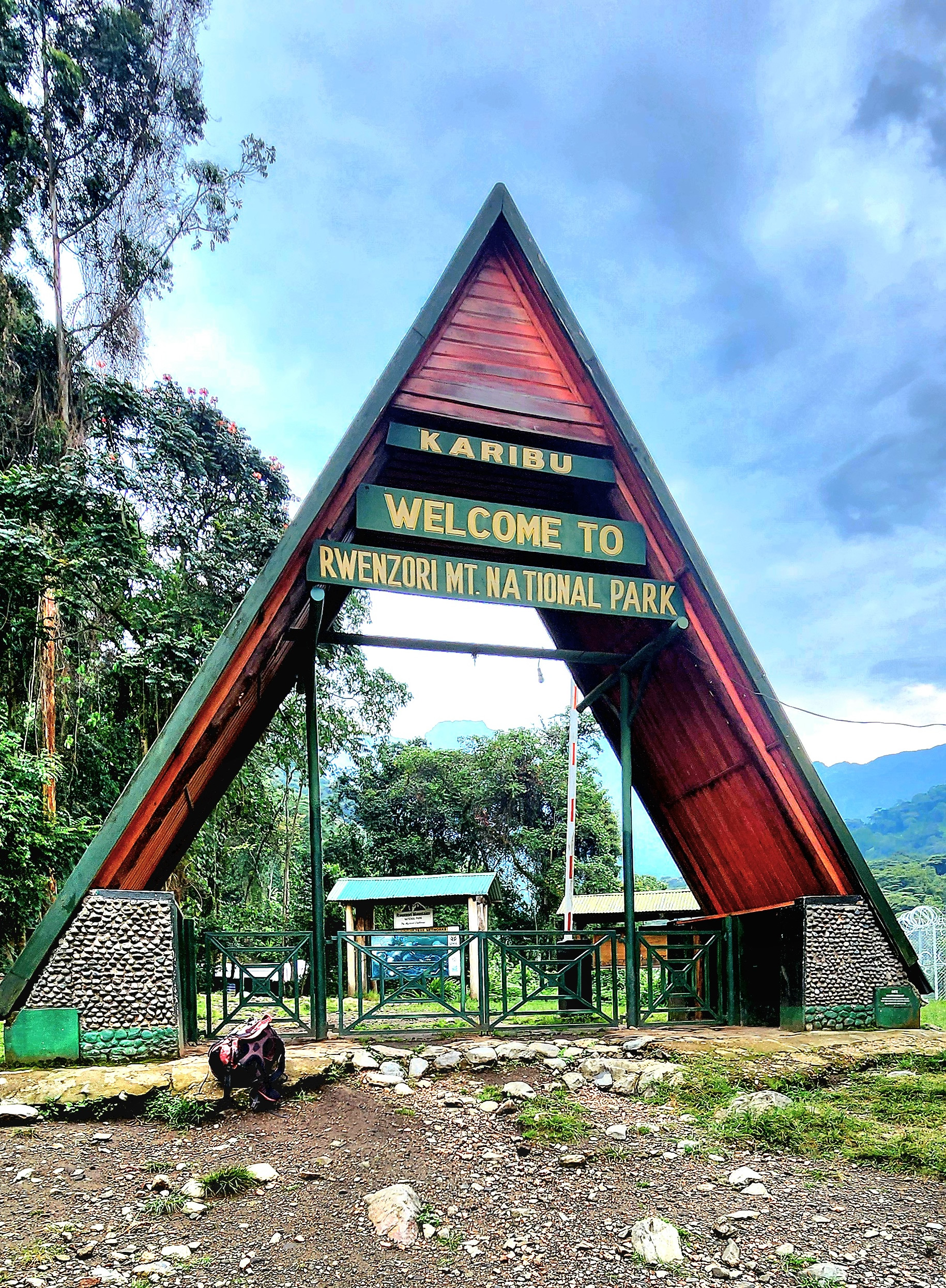
Yes, but unlike gorilla permits, there’s no limited quota or advance lottery. You pay a daily park entrance fee and a daily hiking permit fee through the Uganda Wildlife Authority, arranged via your trekking operator, for every day you spend inside the park.
Most trekkers budget 7 days on the Central Circuit or 7-8 days on the Kilembe Trail for a full summit itinerary, though shorter 5-day summit options exist for very fit, well-acclimatised hikers, and longer 9-day itineraries are available for a more conservative pace.
Most experienced trekkers consider the Rwenzori more physically and technically demanding than Kilimanjaro’s standard routes, due to the mud, constant up-and-down terrain, and the technical glacier crossing required to reach Margherita Peak.
Yes. Both the Central Circuit and Kilembe Trail can be walked as non-technical treks to high viewpoints such as Weismann Peak or the Mutinda Lookout, and the shorter Bukurungu Trail is designed specifically for trekkers who want the scenery without a technical summit.
The park is better known for its plant life and mountain scenery than for large mammals, but hikers may spot forest elephants, chimpanzees, various monkey species, and over 200 recorded bird species in the lower forest zones, along with the park’s famous giant lobelias and giant groundsels in the upper moorland.